Trail Maps & Routes
Looking for great local rides? We recommend using Strava and Trailforks to explore routes — they’re built with mountain bikers in mind and include elevation, difficulty, trail conditions, and rider heatmaps. While AllTrails is popular for hiking, it’s not as accurate for MTB routes, especially singletrack. Use the links below to view some of our favorite local rides on Trailforks.
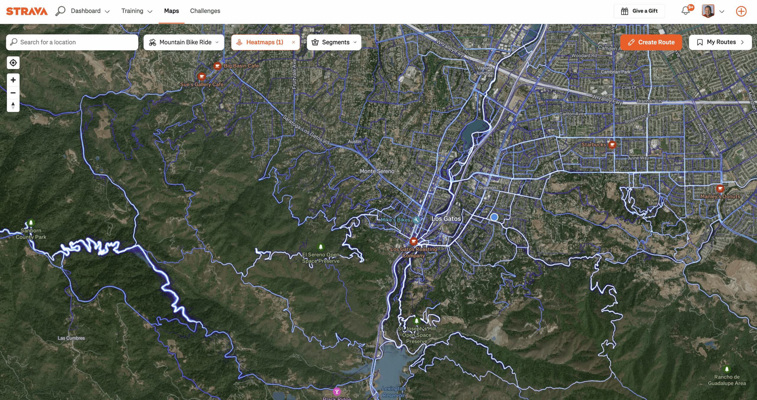
See Where our Members are Riding
Explore the most popular mountain biking trails based on real ride data. Click the map below to open the live heatmap view on Strava. Our members are out every day exploring local trails — check out our club rides and follow the action on Strava.
Some of our Favorites
Beginner Friendly (easiest to harder)
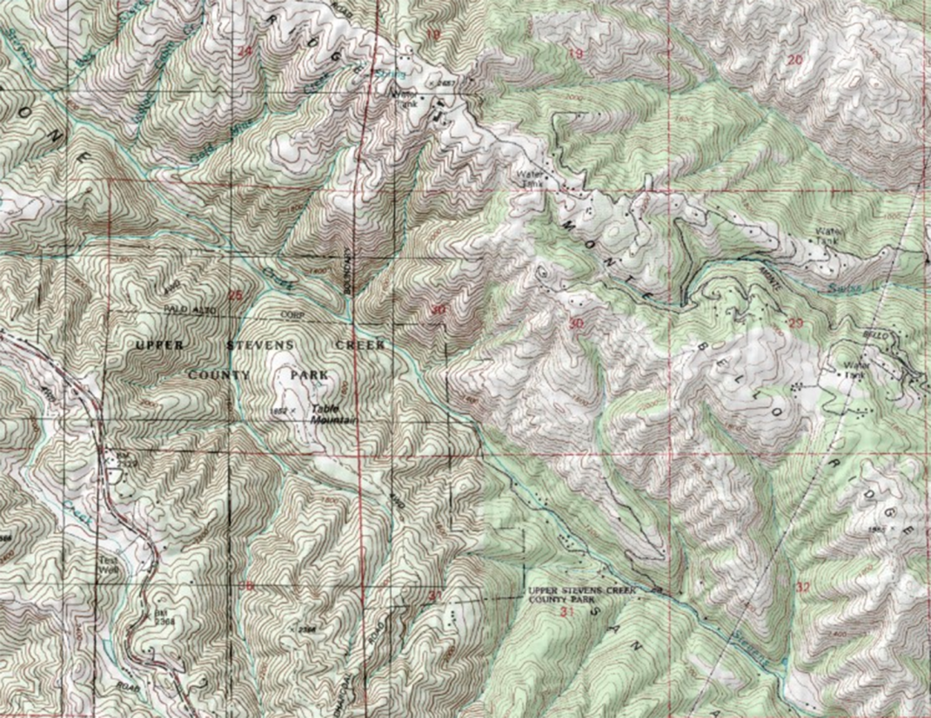
| Lake Ranch Trail – Los Gatos | This is below John Nicholas Trailhead, park on Black Road in Los Gatos. The trail is not very long, maybe 2 miles but it goes out to a pretty reservoir. It’s also nicely shaded and a great trail to start someone on. |
| Wilder Ranch – Santa Cruz | This trail is along the ocean, absolutely beautiful and flat. Great trail to start new riders and goes on for 7 miles so you can go as far as you’d like. Park at Wilder Ranch Parking lot and access from there. |
| Calero County Park – San Jose | Start at San Vicente entrance. A very nice beginner loop that takes you past great views of Calero reservoir. There is an initial climb but the Lisa Killough and Cottle trail is a great loop |
| Coyote Valley Open Space Preserve – San Jose | Arrowhead loop is a beginner friendly single track with great views of the valley |
| Russian Ridge Preserve – Redwood City | Smooth rolling hills with fantastic views |
| Skyline Ridge Preserve – Los Altos | Wide rolling hills |
| Rancho Canada del Oro Open Space – Morgan Hill | Bald peak is an intermediate climb with a fun single track and a 360 degree view as a reward. |
| Saratoga Gap – Saratoga | There are more hills here than Calero but trails are pretty smooth. In the summer there are lots of mosquitos. |
| Fort Ord Trail Map – Monterey | If it rains, head to Fort Ord! Trails around the 8th and Gigling side or East Garrison (park on Sloat Street, and bike in to Barloy Canyon Road) side are mild and flowy. Trails around Creekside Terrace are much climbier |
Intermediate Trails
| John Nicholas Trail – Los Gatos / Saratoga | This is an out and back single track trail, you climb all the way to a lookout and then come back down. The down is super fun and flowy! I usually park at the Black Road entrance and ride in through Lake Ranch Trail. You can also connect to Skyline trail at the top if you want to go further. |
| Skyline Trail, Sanborn County Park – Saratoga | This is a fun trail to do on it’s own or as a continuation when you get to the top of John Nicholas Trail. This trail runs from the top of John Nicholas all the way to the Saratoga Gap parking lot. The trail is up and down. |
| Skeggs aka El Corte de Madera – Redwood City | You will enjoy the Oljon/Blue Blossom/Gordon Mill loop. The climb is about 600 elevation for just this loop so not too bad. If you go further out at Skeggs, you may end up climbing 1k to 2k feet, so pay attention to how far down/how far out you go! It easiest to park at the big parking lot with the bathrooms (run Google Maps to El Corte de Madera Creek Preserve Parking Area) |
| Emma McCrary trail & connect to UConn trail– Santa Cruz | Fun intermediate ride, out and back. |
| Russian Ridge Preserve – Redwood City | Smooth rolling hills. |
| Santa Teresa Park: Rocky Ridge & Stiles Ranch Trails – San Jose | These are my two favorite rock gardens and literally my backyard. Though the trails are rock gardens, trails are not steep and pretty wide for the most part. |
| Soquel Demonstration State Forest: Flow trail – Santa Cruz Mountains | Flow, Braille, Sawpit are among the best trails in California. Start at Hinhs Mill Parking and ride up the ridge trail or if you want a shorter loop with less technical stuff, you can climb up Sulpher Springs (aka suffer springs…lol) which is a steep fire road for about 2.5 miles, then come down Flow. If you’re looking for more technical, descend Braille instead of Flow trail. Even more technical than Braille is Sawpit. |
| UC Santa Cruz – Santa Cruz Mountains | Would recommend you go with a friend or use a GPS app on your phone as all trails are unmarked. Some trails are double black so don’t go down the wrong one! Intermediate by level of difficulty: Mailboxes + shortcut out, Sweetness, Leafy Flow/Dark Monster, Magic Carpet, D-Cups |
| Waterdog – Belmont | Small park, but some fun trails – check out Rambler and Labor of love for some fun flowy trails with some great features. |
| China Camp – San Rafael | Great beginner loop with stunning views of the bay – climb higher for more intermediate trails. |
| Camp Tamarancho – Fairfax | Super fun trails, with lots of very sharp switchbacks. I love how you get all sorts of terrain there. Get a day pass at Sunshine Bike Shop in Fairfax before you hit the park. You can park near Splitrock restaurant as there is no trailhead parking. Splitrock has really good food & beers . Epic brats at GESTALT HAUS across the street. |