Silicon Valley Mountain Bikers wrote back to the Office of County Supervisor Joe Simitian’s office to ask about the parking restrictions at the Sanborn Road north entrance of John Nicholas trail head. We appreciate the response from the Board Aide below. What do you think of this response? Write Supervisor Simitian’s office if you have additional thoughts on this topic: https://d5.santaclaracounty.gov/how-can-we-help/contact-joe
Response from Supervisor Simitian’s office:
“Regarding the parking at the end of Sanborn Road, I checked with Parks who provided the following information:
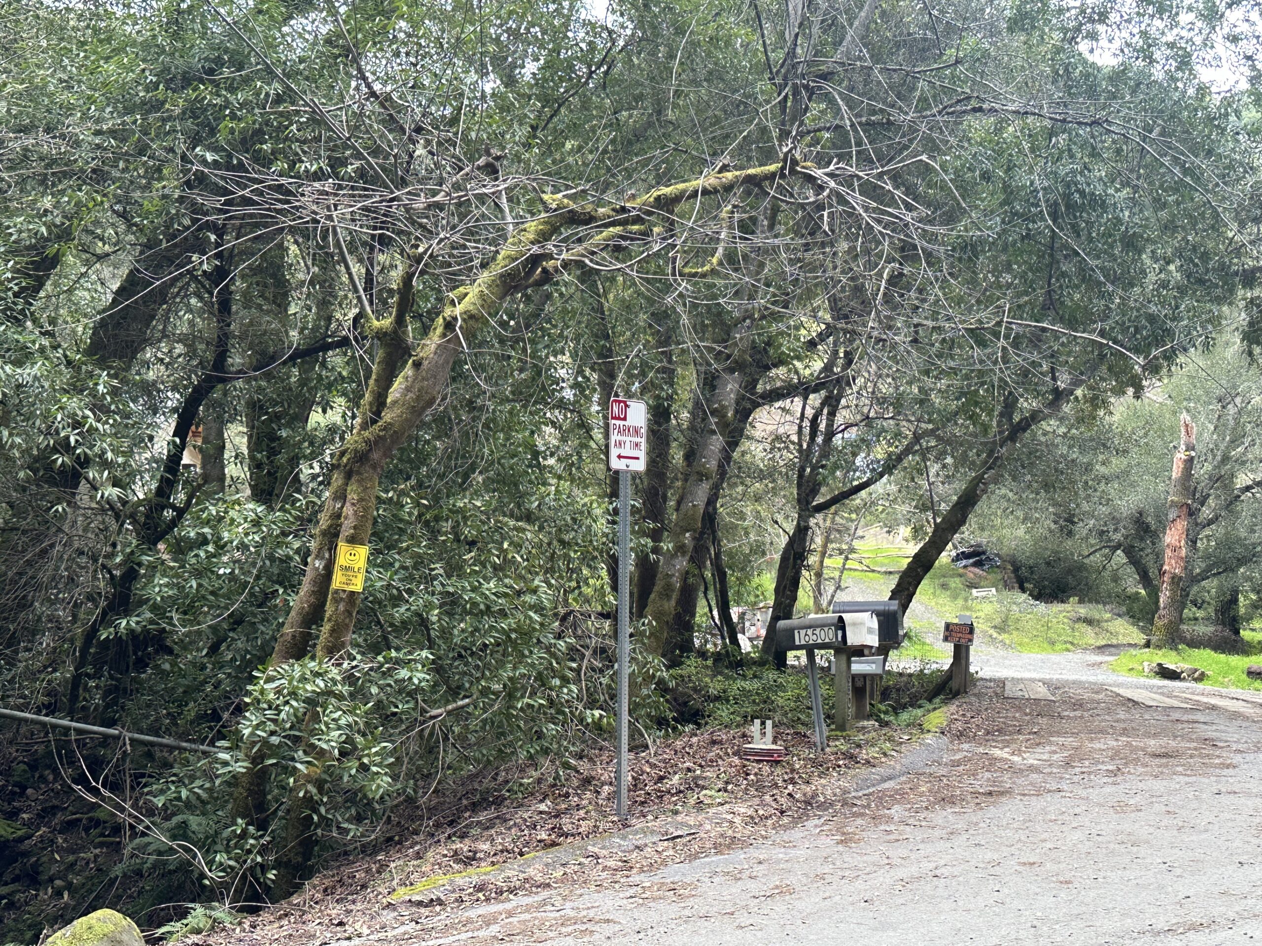
In response to residents’ concerns of illegal parking, Parks staff requested that the Roads Department install “No Parking” signs near the area of the start of Lake Ranch Trail. The concerns included vehicles parking illegally over the shoulder striping and blocking the roadway which caused traffic flow problems and did not providing enough access, or parking, for emergency vehicles (fire, EMS, etc.). It created a situation where those responders were unable to park and turning around was nearly impossible.
Based on an on-site engineering study, the Roads Department installed “No Parking” signs in areas where parking was a safety issue at the end of Sanborn Road.
Once the signs were installed, our office received feedback from a park visitor which we shared with Parks and Roads Departments. The current signage location is a result of the Departments taking a second look at the area to ensure access for emergency vehicles and to maximize available parking.
Again, thank you for contacting our office with your concerns on this matter.”